
 Sign in
 Sign up
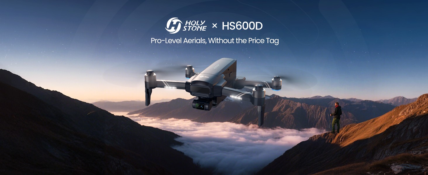
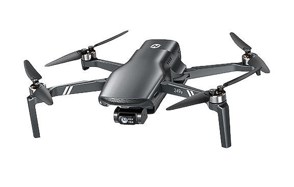
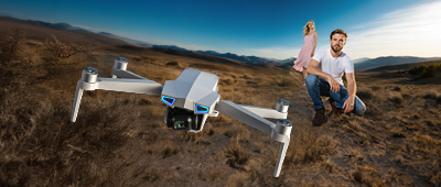
Pro-Level Aerials Drone, Without the Price Tag
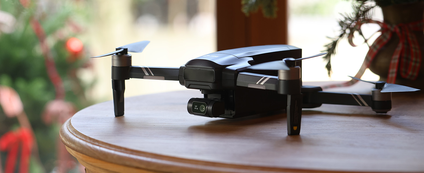
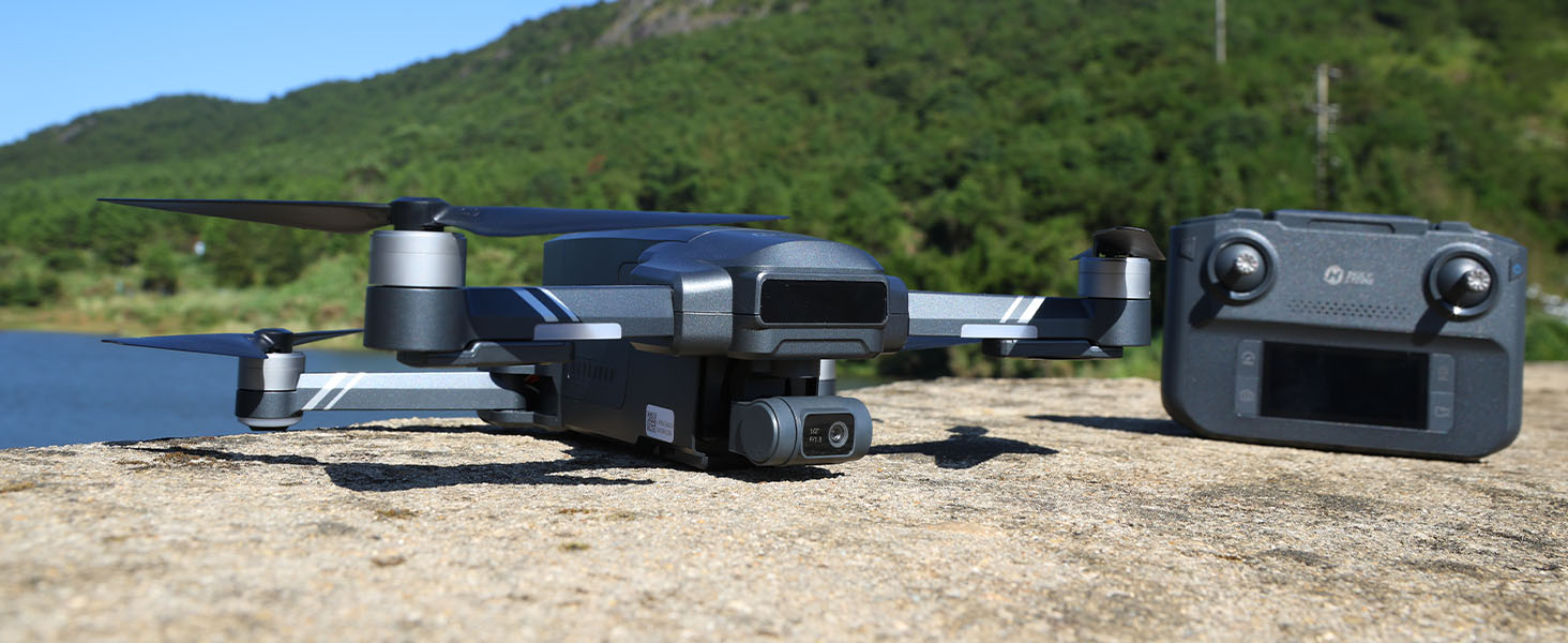
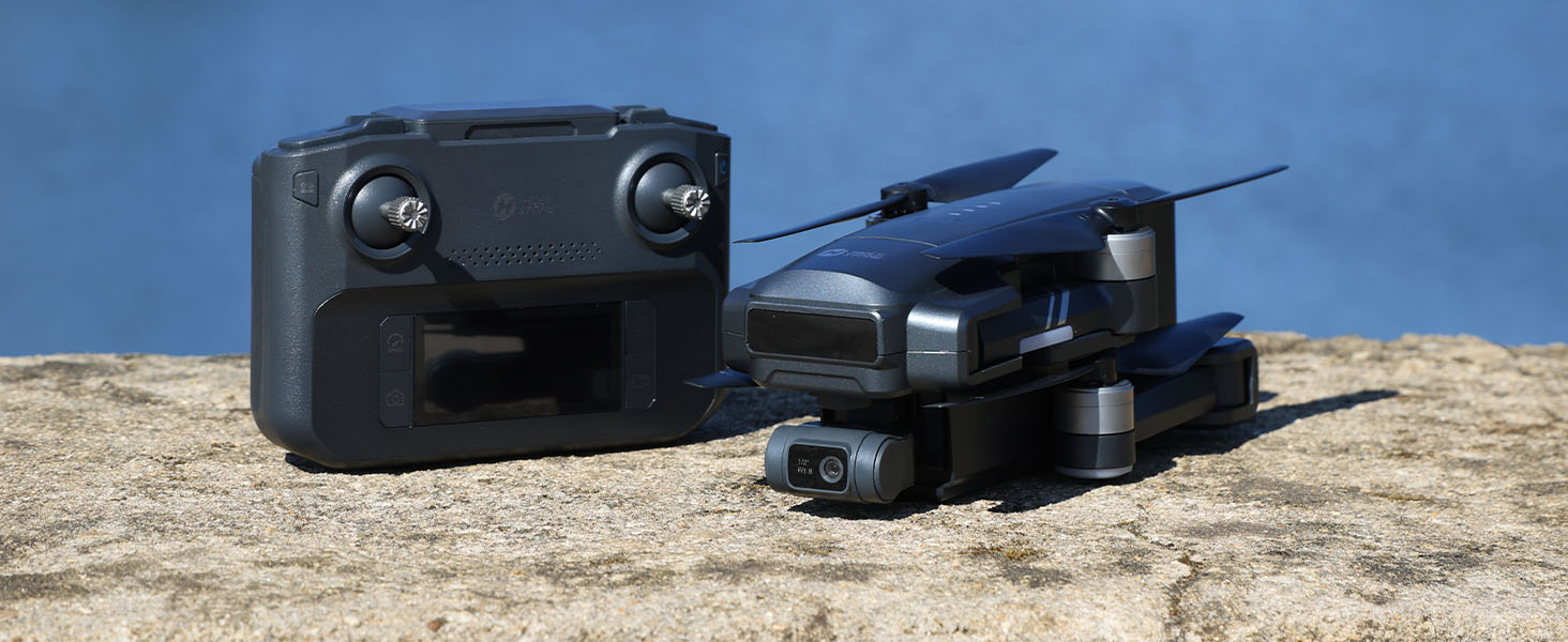
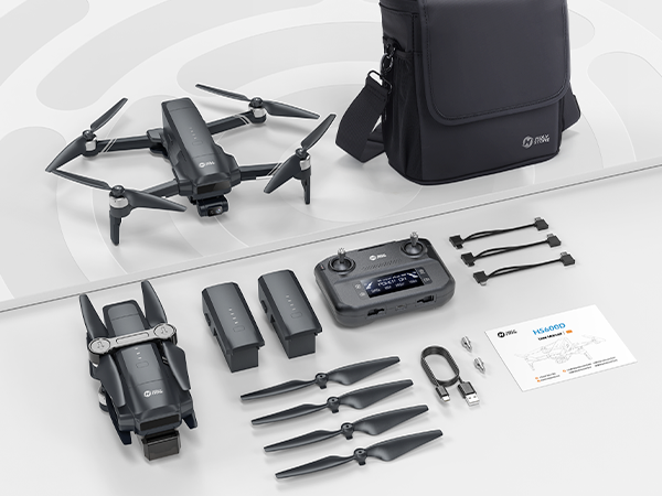
Model No.: HS600D, Weight: 603g
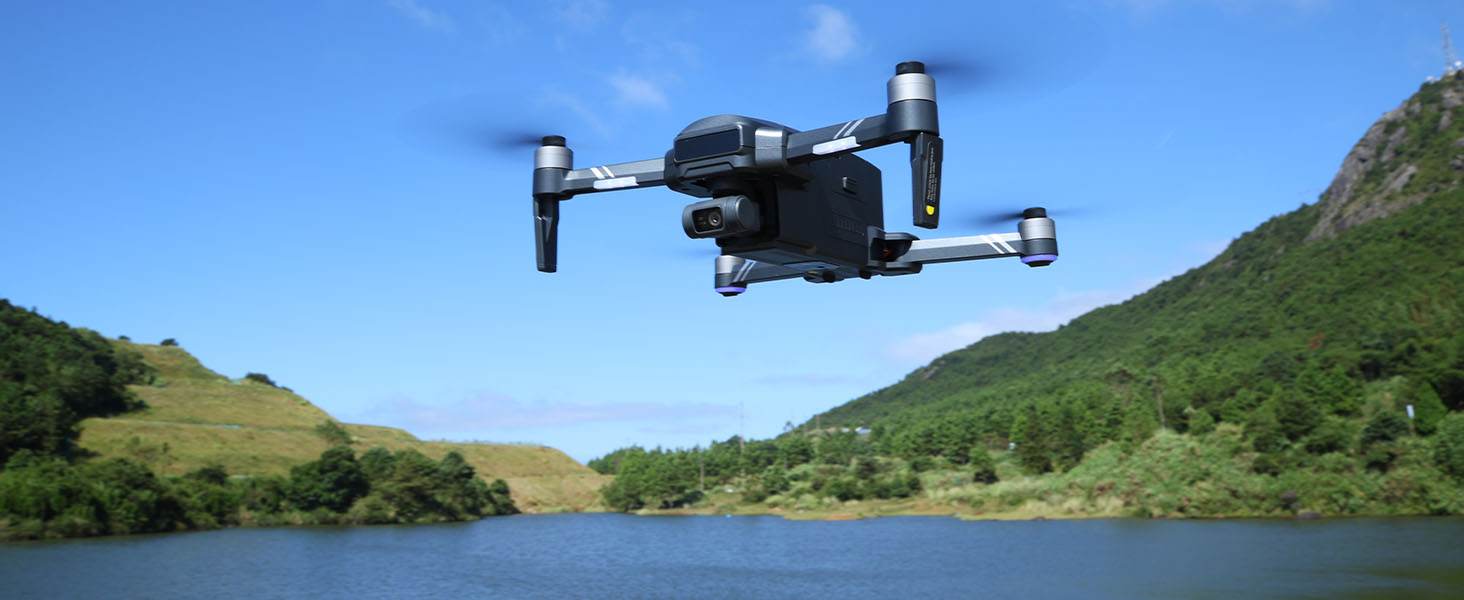
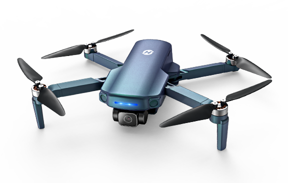
Explore the Skies with Confidence
– Long-Range, Rock-Solid Stability, and Pro-Level Clarity for Every Shot.


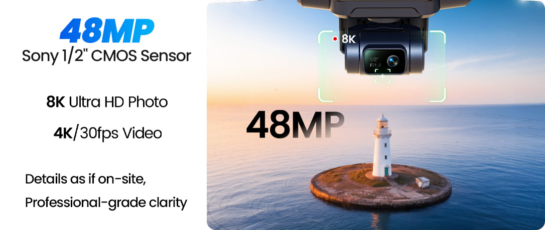
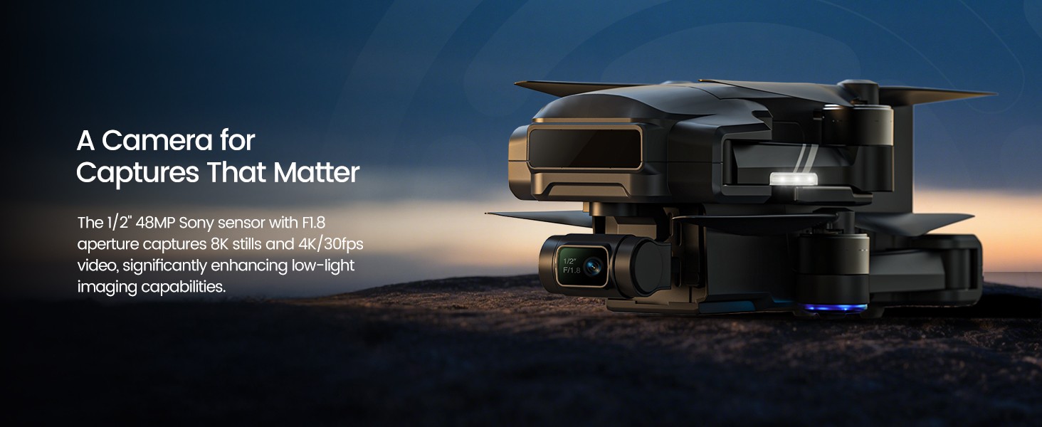
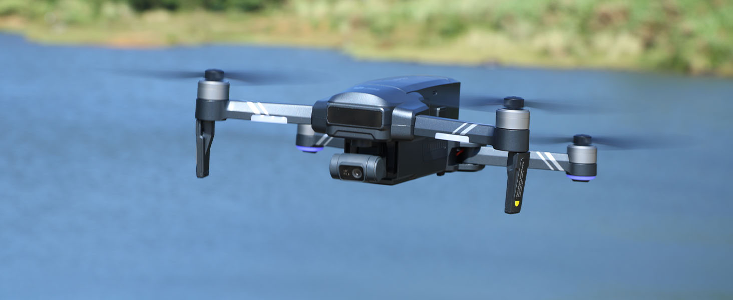
Powerful Imaging Meets Stronger Stability
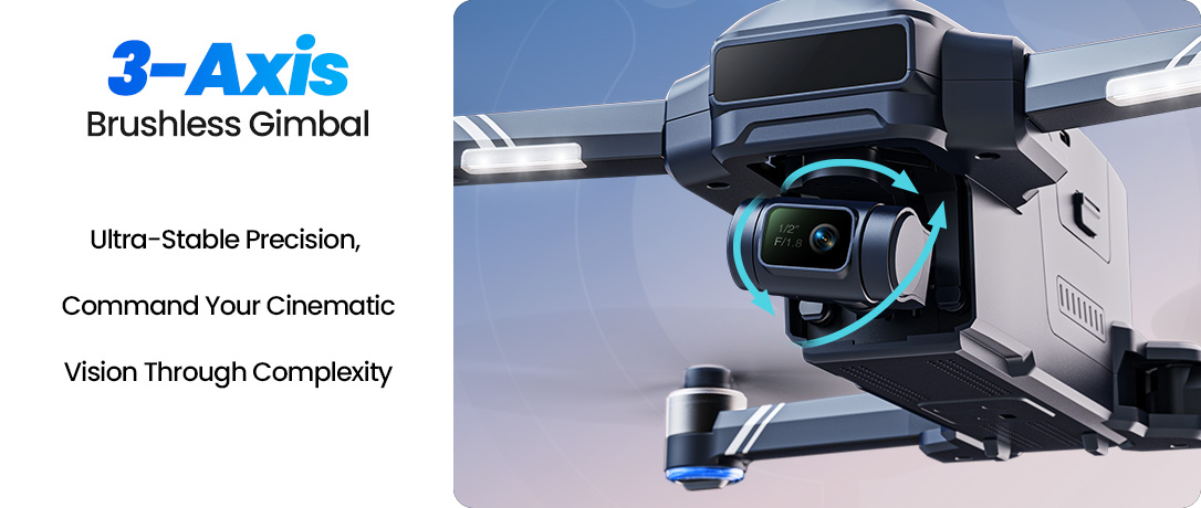
Capture stunning detail with a 48MP Sony 1/2" sensor and a precision 3-axis brushless gimbal, delivering clear, stable, and cinematic aerial footage in every shot.
Record in 4K video at 30fps for crisp visuals and natural motion, making it easy to capture everything from scenic landscapes to everyday moments with professional clarity.
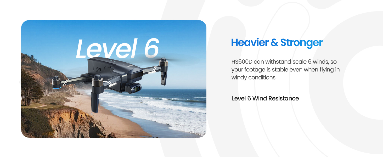
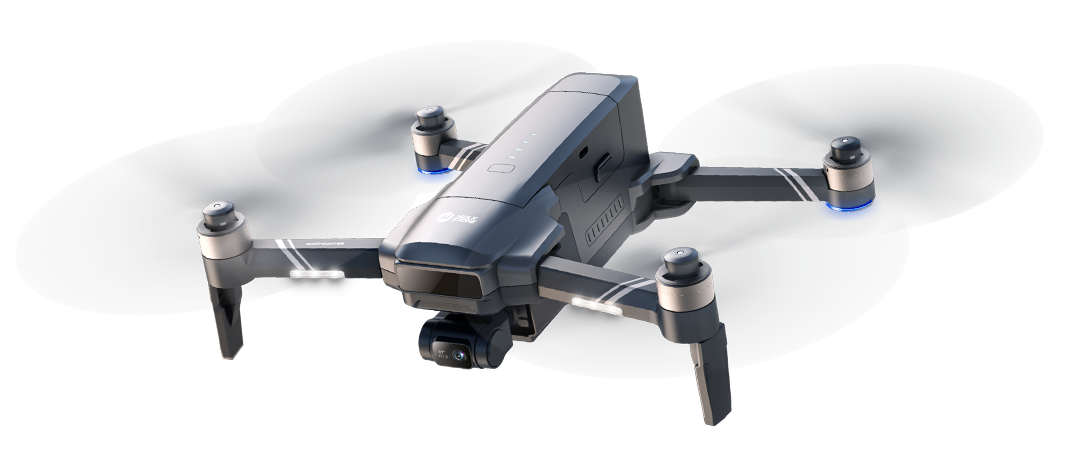
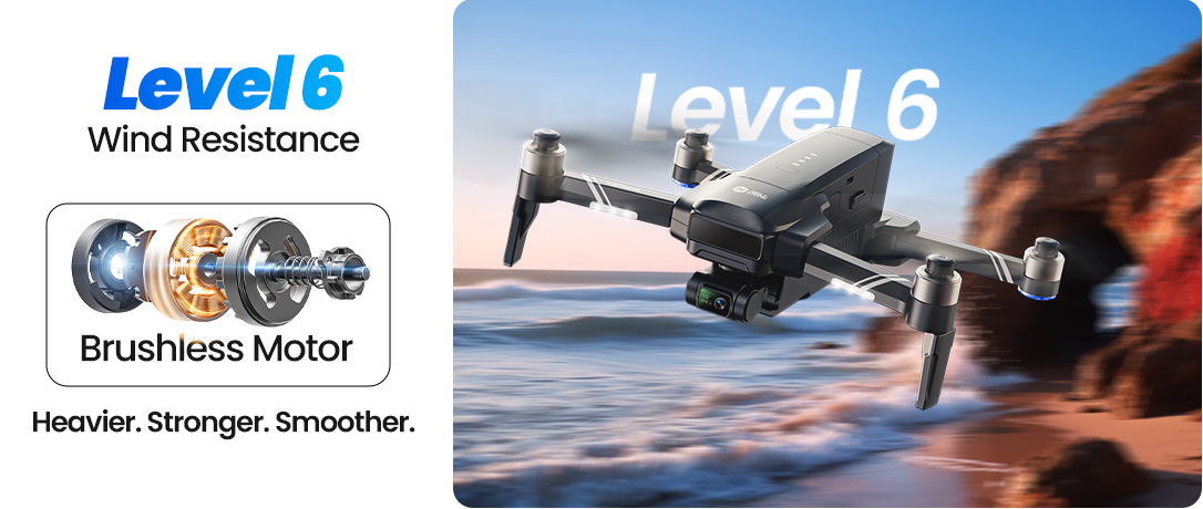
Built with a larger and more robust airframe, HS600D offers enhanced in-flight stability, giving you smoother control and more confidence during every flight.
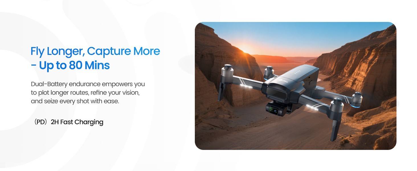
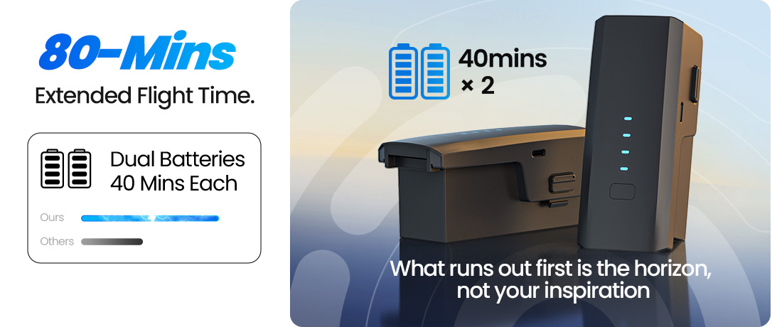
With Level 6 wind resistance and up to 80 minutes of flight time, it performs reliably even in more challenging outdoor conditions, ensuring stable footage and a more consistent flying experience.
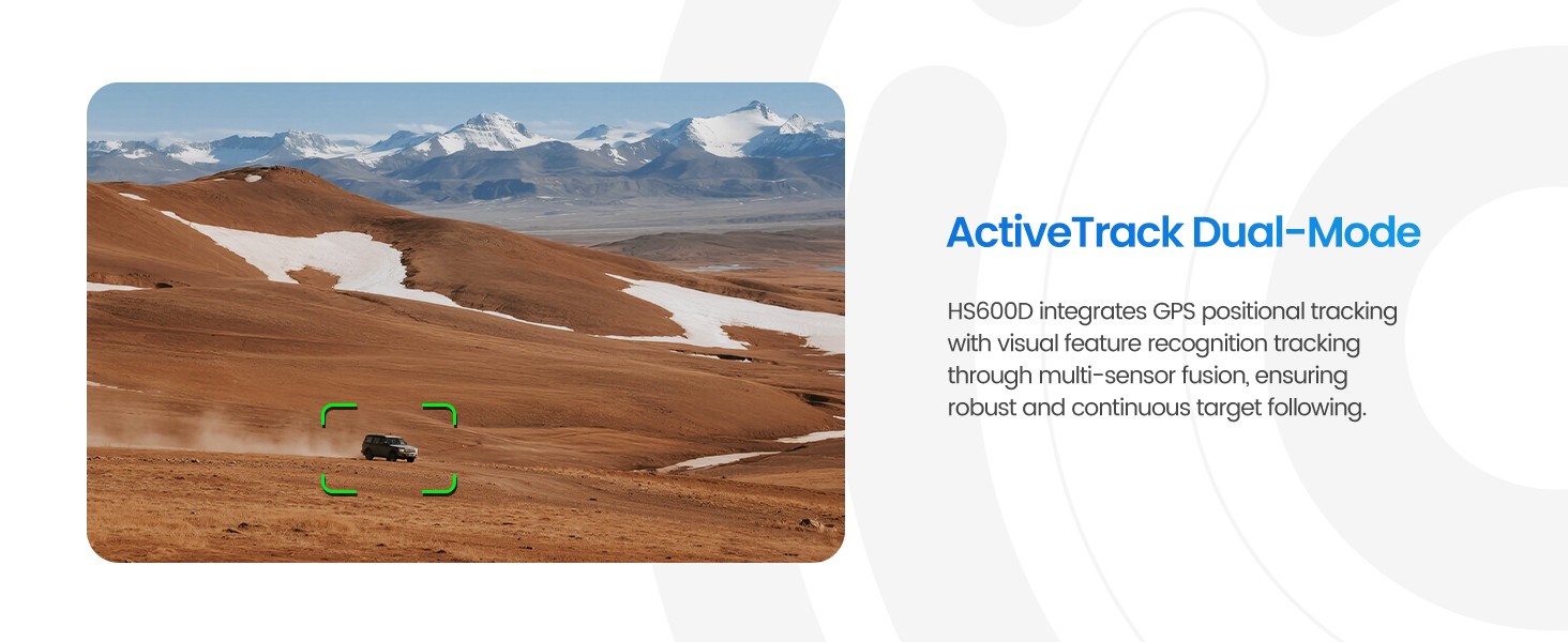
Designed for creators ready to explore more, HS600D combines powerful imaging, intelligent GPS features, and strong flight performance to deliver high-quality aerial results with ease.